Avigne Project
Avigne Project – Geographic information systems to the vineyards of the Vulture
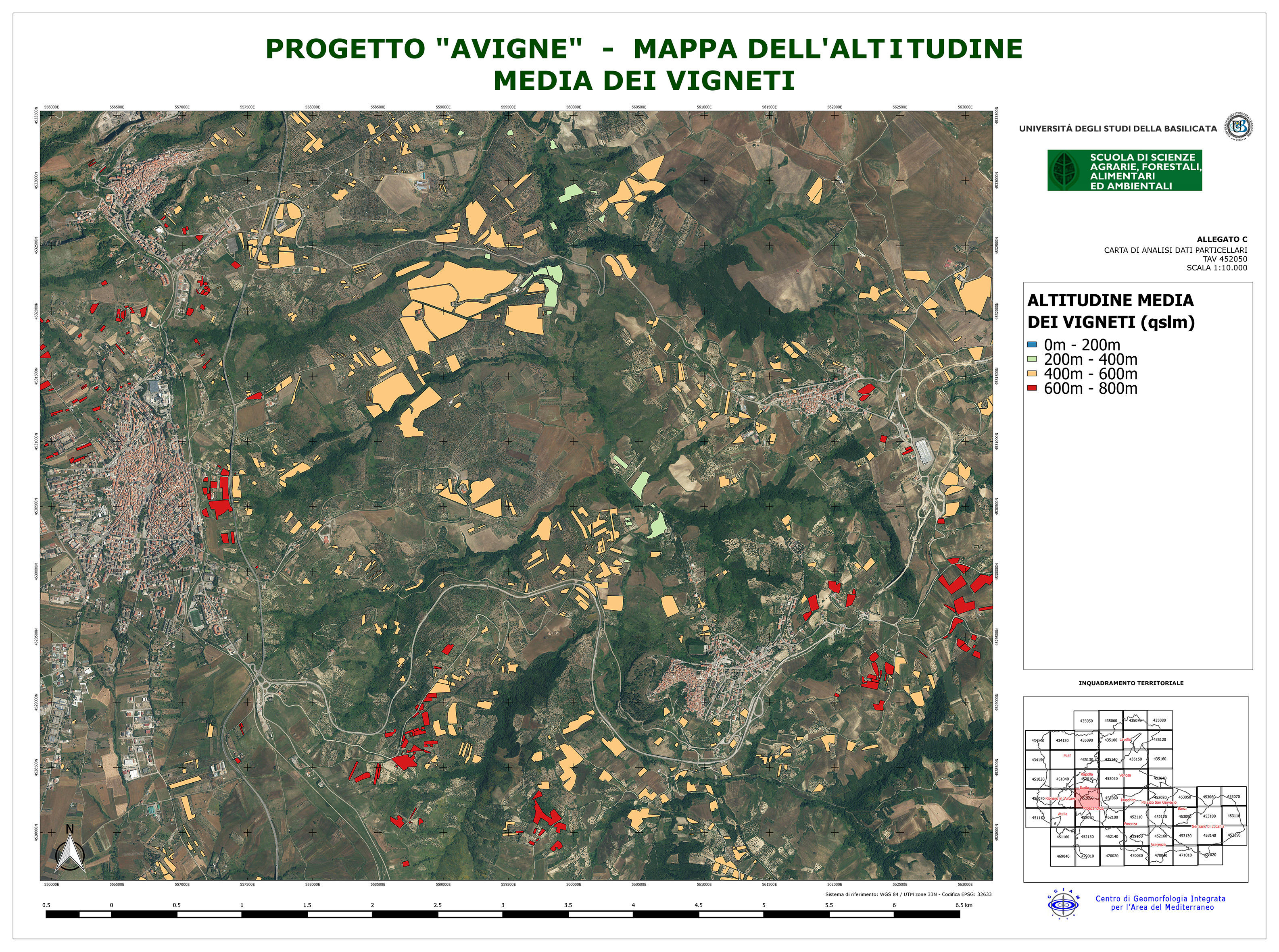
The GIS developed within the project brings together information on the vineyards of Aglianico del Vulture derived from scientific sources and institutional databases and makes it usable through thematic maps, useful to analyze the areas under vines, for planning development and to plan and manage operations agronomic
Read Article “Sistema informativo territoriale per i vigneti del Vulture” published in the weekly technical and economical professional agriculture “L’Informatore Agrario“
Organismo scientifico di diritto pubblico per lo sviluppo socio-economico e lo studio dei rischi naturali, fondato sotto l’egida dell’UNESCO e della Regione Basilicata
Via Domenico Di Giura, 54 (Centro Direzionale), 85100 Potenza, Italy - Tel/Fax: +39 0971 69511 - CF: 80011410760